Categories
Multimedia Projects
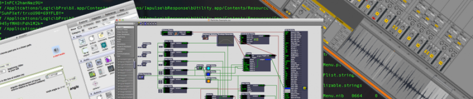
Screen Capturing your Mac Computer
Creating H5P Content
-
Recent Entries
Monthly Archives: September 2014
Choropleth Maps Revisited
Since my original post on choropleth maps a little over a month ago I have been thinking about ways to display all of the data in Table 1 (i.e. Reed College enrollment by state from 2007-2013) in a single choropleth … finish reading Choropleth Maps Revisited
Posted in Data Visualization, Quantitative analysis
Tagged maps, R
Comments Off on Choropleth Maps Revisited
R Workshop on 10/1/2014
I will be leading a workshop on R tomorrow from 4:30 to 5:30 pm in ETC 205. The workshop is designed to be useful for users with all levels of experience. The workshop will include a basic overview of R … finish reading R Workshop on 10/1/2014
Posted in Data Visualization, Quantitative analysis, Workshops
Tagged R
Comments Off on R Workshop on 10/1/2014
Clickers in chemistry: a classic case of data munging
Clickers are a common piece of educational technology across college campuses, used for in-class quizzes or to allow many voices to “speak” in a class discussion. At Reed, clickers are most commonly used in the first two years of Chemistry courses, … finish reading Clickers in chemistry: a classic case of data munging
Posted in General Instructional Technology
Tagged data, python
Comments Off on Clickers in chemistry: a classic case of data munging
Data Visualizations and Presentations in R Markdown
Last Saturday I gave a presentation at the National Association for College Admission Counseling Conference titled “Matching the Under-Matched Student: Small Colleges and Big Data Offer Strategies for Success.” The presentation used a statistical analysis and case studies from two … finish reading Data Visualizations and Presentations in R Markdown
Posted in Data Visualization, Workshops
Tagged R, R Markdown
Comments Off on Data Visualizations and Presentations in R Markdown
FOSS4G: Geospatial tech, community, and a bird named Helen
I recently returned from a week of workshops, presentations, networking, and general nerdery with an incredible group of people: open source geospatial developers, users, and other spatially-focused folk from across the globe.
Posted in Mapping / Geospatial
Tagged conference, open source
Comments Off on FOSS4G: Geospatial tech, community, and a bird named Helen
The PARC image and its software
In this post I would like to introduce you to the PARC’s computers and the software that runs on them. The software on our computers is performing arts focused. We do have some standard programs, like Microsoft Office and Express Scribe, but … finish reading The PARC image and its software