Each week the NY Times emails me a list of articles it has published under the heading of Climate. Topping the list in today’s email was a fascinating article, “Who’s Driving Climate Change? New Data Catalogs 72,000 Polluters and Counting” (by R. Chang, NY Times, 9 Nov 2022). The article describes a nonprofit coalition called Climate TRACE that says it is able to use high-resolution emissions data collected by earth-orbiting satellites to identify large-scale emitters of greenhouse gases. Instead of relying on country-by-country, or country-based industry-by-industry, emissions reports, Climate TRACE claims that it can connect large-scale emissions of gases to specific facilities wherever they are located. The Times article says these facilities include “steel and cement factories, power plants, oil and gas fields, cargo ships, cattle feedlots”. (FYI Your neighbor’s gas guzzler is not on the list even though transportation accounts for a huge share of US emissions.)
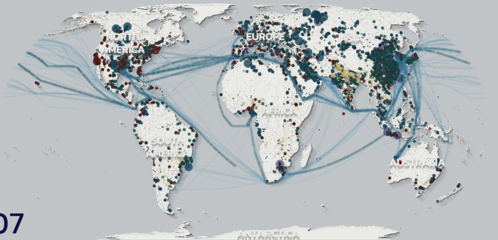
Climate TRACE makes its data freely available, both in the form of maps and data downloads. Here is a view of the map of large-scale emitters of CO2 that I obtained today from their website. Sad to say, large-scale CO2-emitting facilities pop up all across North America, Europe, and Asia, and a few are even located in the southern hemisphere. So far the group’s results have not been published in peer-reviewed journals, but stay tuned …

