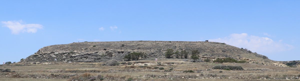
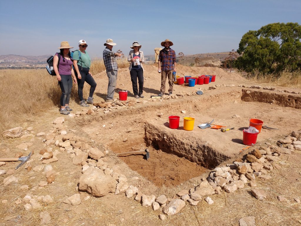
It’s hot this week. And archaeology is hot work. We’re halfway through the field season, and we’ve made some significant progress in all three of our trenches. Each trench highlights a different type of archaeological problem which we are addressing, and consequently requires different excavation strategies.
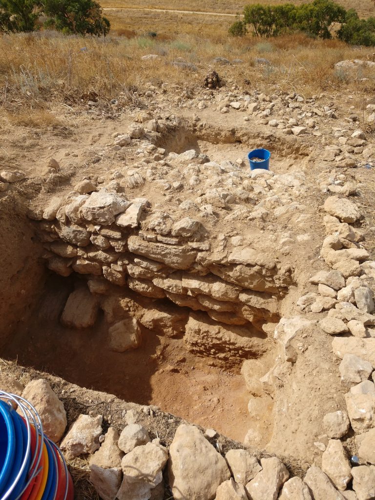
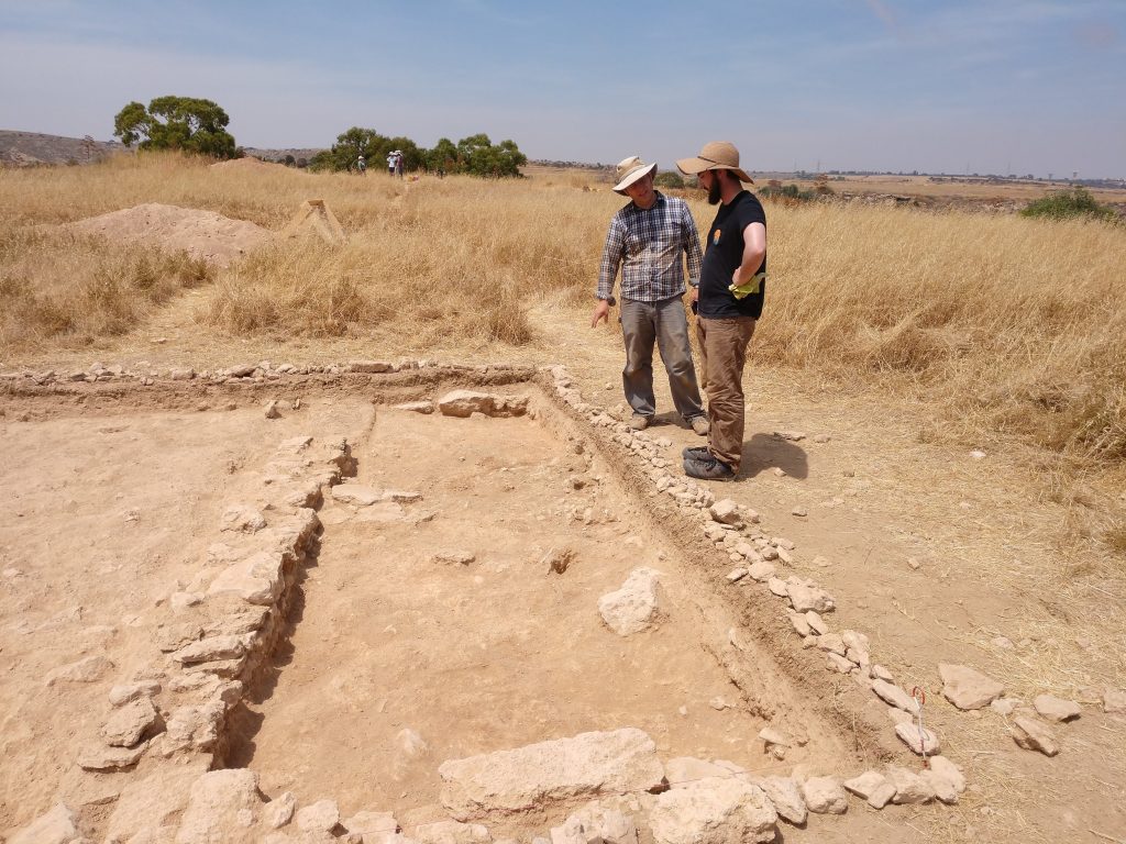
Our south trench is, as of today, complete. The large, stone, fortification wall running through the middle of the trench effectively divided the trench in two, creating smaller, more manageable excavation spaces. The goal of this trench was to better understand the wall, and now that we’ve reached bedrock, we’ve revealed the extent of this wall in the trench.
Speaking of walls, in the north trench we are focused on finding the south face of the large, mudbrick wall we found last year. We’ve found it – or at least part of it. Mudbrick walls are rarely preserved well and are often indistinguishable from the soil around it.
As a result, you can only really see the edge of the wall in the baulk, the (ideally) smooth, vertical face of the trench wall. For this reason, one of the things students have had to do here (and in all the other trenches) is trim the baulks to expose clear stratigraphy.
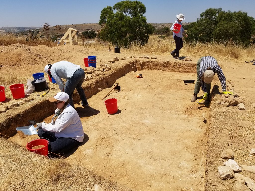
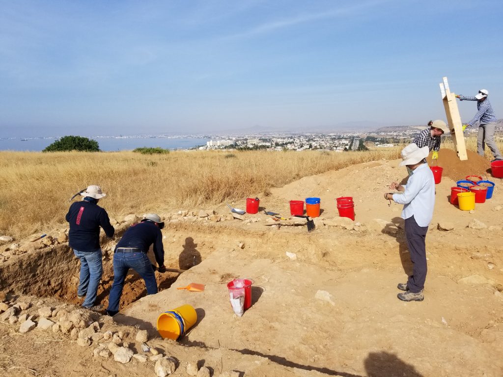
Ideally we excavate stratigraphically, removing and recording each layer in order of deposition, from the most recent to the earliest. Each layer gets its own SU (stratigraphic unit) number and a set of extensive paperwork. Ideally, excavation should be coordinated, with each member of the team working together.
As we go down, we take points using our GPS unit to mark elevations, important finds, and architecture for mapping.
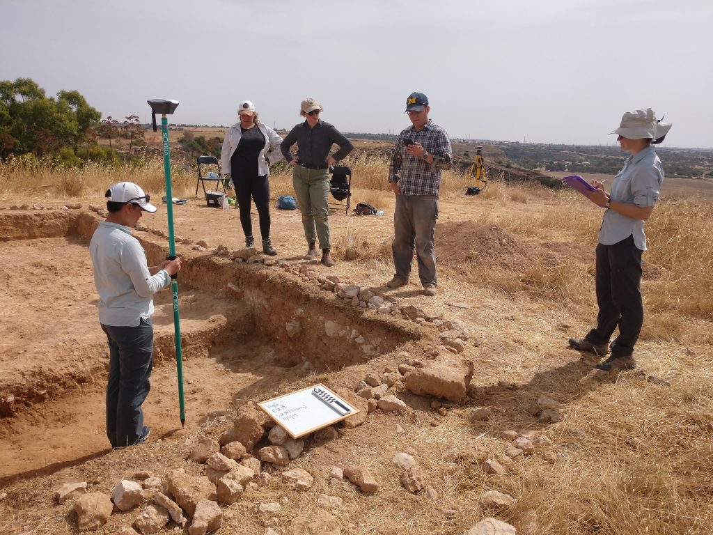
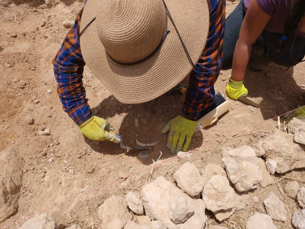
Part of the process of making this stratigraphy as clear as possible is brushing. At the end of every layer, we must sweep out the trench to expose the end of one layer and the beginning of another and make it absolutely clear for photography. This means that students become very familiar with sweeping dirt off of dirt.
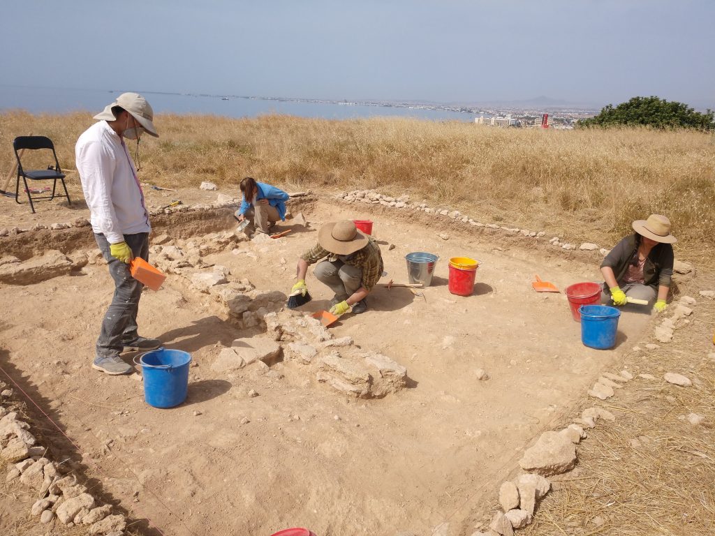
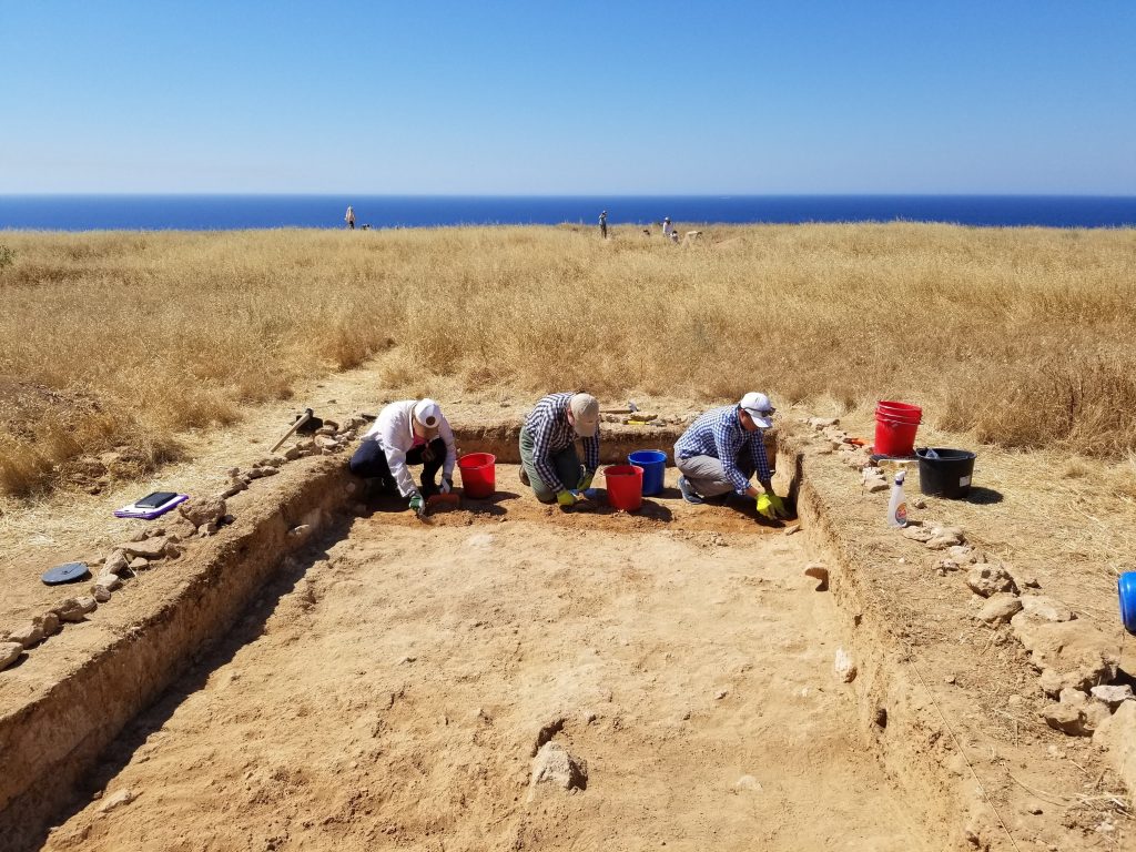
In the middle trench, we were looking for evidence for occupation. We’ve so far found architecture that is quite different from the fortification walls in the north and south. Excavation here also has to proceed in smaller chunks, because of the potential for finding surfaces and material associated with the occupation of the site.
Most people think of archaeology as finding big, fancy stuff. However, most of archaeology is recording, bagging, tagging, and taking notes on small, mundane objects.