Categories
Multimedia Projects
Screen Capturing your Mac Computer
Creating H5P Content
-
Recent Entries
Monthly Archives: April 2017
Mapping Unimproved Roads
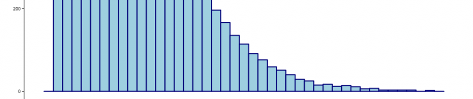
Cyclocross is a one of those weird sports I’d never heard of until I moved to Portland. Essentially cyclocross is a form of bike racing that entails riding on pavement, trails and grass while occasionally dismounting to carrying your bike … finish reading Mapping Unimproved Roads
Posted in Data Visualization, General Instructional Technology, Mapping / Geospatial
Comments Off on Mapping Unimproved Roads